
Zoning
Validate land-use rights, retail use permissions, and site constraints while identifying the municipal requirements that shape a ground-up deal.

SOURCE-BACKED DECISIONS
Clear determinations, the details that support them, and the next checks the team needs to move forward.
Validate land-use rights, retail use permissions, and site constraints while identifying the municipal requirements that shape a ground-up deal.
Identify critical compliance gaps in existing conditions, ADA, plumbing, and life-safety standards before a retail build-out reaches plan review.
Navigate the path to approval with localized data on application requirements, issuance steps, and direct contacts for key agency officials.
One platform, every market
Get results in any city, anywhere.
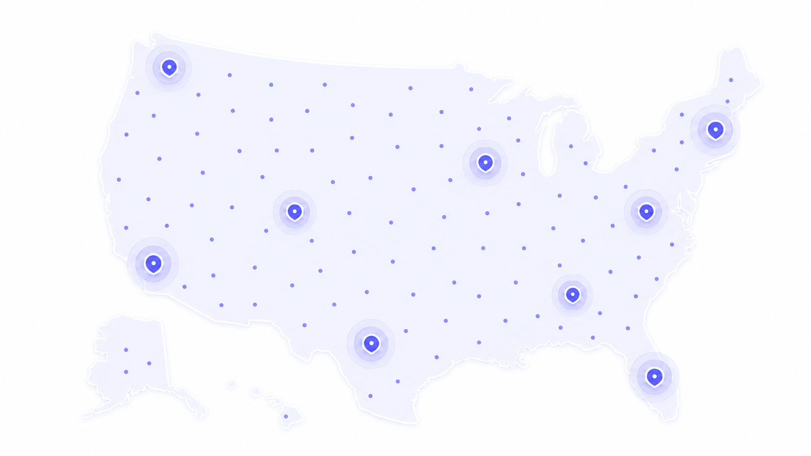
From market entry to parcel diligence, Redflag helps teams identify risk early, compare opportunities, and move new sites forward with confidence.
Whether refreshing an existing asset, converting a box, or managing tenant improvements, Redflag centralizes the approvals, exceptions, and site-specific issues that slow projects down.
For national retail programs, remodel waves, relocations, and expansion plans, Redflag gives teams portfolio-wide visibility into risk, progress, and where action is needed next.
✓Answer:Yes—the proposed single monument sign is allowed on the Main Street frontage. Its 6-foot overall height and 32-square-foot sign face are within the B-3 district’s 8-foot and 48-square-foot limits , , .
Chapter 18.7
Code of Ordinances · Signs + site identity
The B-3 district permits one freestanding monument sign for each public street frontage. Monument signs are limited to 8 feet measured above adjacent grade and a sign face of no more than 48 square feet.
A monument sign may not be located within the required sight triangle, a public utility easement, or the required front setback unless specifically authorized.
The Main Street frontage supports a single monument sign; the submitted location must be confirmed against the sight triangle, setback, and recorded utility information.
The proposed sign use, overall height, and face area meet district limits; its final location remains a site-plan coordination item.
This illustrative source window stays independently scrollable so the cited passage remains available while the team reviews the answer.
Supporting correspondence, plan revisions, and subsequent decisions remain associated with this review record.
Signage set · A0.2 / S1.0
Illustrative project information · Signage review
The submitted signage set identifies one double-faced monument sign along Main Street. The sign is shown at 6 feet overall with a 32-square-foot copy area, set behind the sidewalk and outside the driveway throat.
The plan depicts one freestanding sign on the property’s only public street frontage; no second freestanding sign or electronic message center is shown.
The plan facts fit the district allowance. Moving the sign, enlarging its face, or adding a digital display should trigger a refreshed review against the applicable standard.
The location, copy area, overall height, frontage count, and display type are the project-specific facts that establish a reliable signage finding.
This illustrative source window stays independently scrollable so the cited passage remains available while the team reviews the answer.
Supporting correspondence, plan revisions, and subsequent decisions remain associated with this review record.
Chapter 18.1
Code of Ordinances · Definitions
Sign face area is measured as the smallest geometric shape enclosing the copy, logo, border, and supporting frame visible on one face. Overall sign height is measured from adjacent finished grade to the top of the sign.
Decorative cap features and integral sign framing count toward overall height; the base is excluded from sign area only when it carries no copy.
The stated 32-square-foot copy area and 6-foot height should be reconfirmed from the permitted sign elevation and final grading, not an unscaled rendering.
Show dimensions for both faces, top of sign, adjacent grade, and copy area so the final construction set can be verified.
This illustrative source window stays independently scrollable so the cited passage remains available while the team reviews the answer.
Supporting correspondence, plan revisions, and subsequent decisions remain associated with this review record.
Building Code §3107
Building Code · Sign supports + electrical
Freestanding signs must be designed for applicable wind loads and supported by foundations sized for the site soils. Electrical components must be permitted and listed for the intended installation.
The permit application must include structural support and foundation information, electrical details, and site placement coordinated with underground utilities.
Zoning allows the sign in principle; building and electrical permit materials must establish a safe foundation and installation before field work begins.
Request signed structural and electrical details, footing depth, and utility locates with the final monument sign permit package.
This illustrative source window stays independently scrollable so the cited passage remains available while the team reviews the answer.
Supporting correspondence, plan revisions, and subsequent decisions remain associated with this review record.
Clear reasoning and key factors, explained.
Jump to any source, with relevant text highlighted.
Share with collaborators, add comments and attachments.
Never forget who made a decision or why (Email from a planner? Variance granted? Saved!)
Bring titles, easements, plan amendments, CC&Rs, leases, and other project records into the review.
Keep source changes connected to the decisions and context they affect.
Value across the development lifecycle
Identify market, parcel, and site risk earlier.
Manage pre-development and site investigation with clear visibility into zoning, access, utilities, and approvals.
See risk, velocity, and where intervention is needed across every market and project.
Keep plans, source documents, versions, and updates organized so every team can act on the latest record.
Site + source contextWhat informs the diligence
Coordination + deliveryHow teams advance the site